Call Us: +1 866 300 9012

contact@measur.ca

Call Us: +1 866 300 9012

contact@measur.ca
SHOPPING CART

No Products in the Cart

TOTAL:
$0.00

Geomatics in the 21st Century: Trends and Advancements

Geomatics, encompassing surveying, mapping, geographic information systems, and more, has advanced rapidly over the last decade. The field has grown and evolved and is now an indispensable tool in many industries such as construction, agriculture, and forestry. This field is constantly evolving and the latest advancements are making it more accessible, efficient, and cost-effective. As experienced professionals, it is important to stay informed and up-to-date with these trends and advancements.

The Rise of 3D Modeling

One of the biggest trends in Geomatics is the rise of 3D modelling. Thanks to the use of 3D Laser Scanners such as the FARO Focus Laser Scanner, it is now possible to create highly detailed and accurate 3D models of buildings, landscapes, and infrastructure in minutes. These models provide valuable information for decision-making and can be used for a wide range of applications such as facility management, forestry, and more.

An advantage of 3D modelling is that it provides valuable information for decision-making and can help identify potential issues before they become a problem. For example, a 3D model of a building can be used to assess its structural integrity, identify areas that need maintenance or repair, and optimize energy efficiency. 3D modelling is becoming more accessible with software programs that are user-friendly and offer a range of features and tools for creating highly detailed and accurate models. 

UAVs have become an important tool in the Geomatics industry, providing high-resolution aerial imagery, LiDAR, and more that was once only accessible through manned aircraft. These drones are equipped with advanced sensors, such as LiDAR, that can produce highly detailed maps and 3D models. With their ease of use and cost-effectiveness, UAVs are increasingly being used for a wide range of applications, including surveying, mapping, and inspection.

Drones can access remote or difficult-to-reach areas making them an ideal solution for many industries such as agriculture, construction, and energy. They can also map large areas of land with centimeter-level accuracy accomplishing large topo projects in a fraction of the time as traditional methods. Larger fixed-wing drones such as the Quantum Systems Trinity F90+ have a flight-time of 90+ minutes and high-resolution payloads such as the Sony RX1RII 42 MP RGB camera or the Qube 240 LiDAR powered by YellowScan. Systems such as these are ideal for large-area mapping and accomplishing tasks in hours that takes a traditional surveyor days.

Drones equipped with GPS and other sensors can provide real-time data for geospatial analysis and decision making. They have revolutionized the field of geomatics by providing cost-effective ways of collecting and analyzing geospatial data. With their ease of use and efficiency, drones are becoming increasingly popular in this field and are expected to play a significant role in shaping the future of the industry.

The Adoption of Machine Learning and Artificial Intelligence

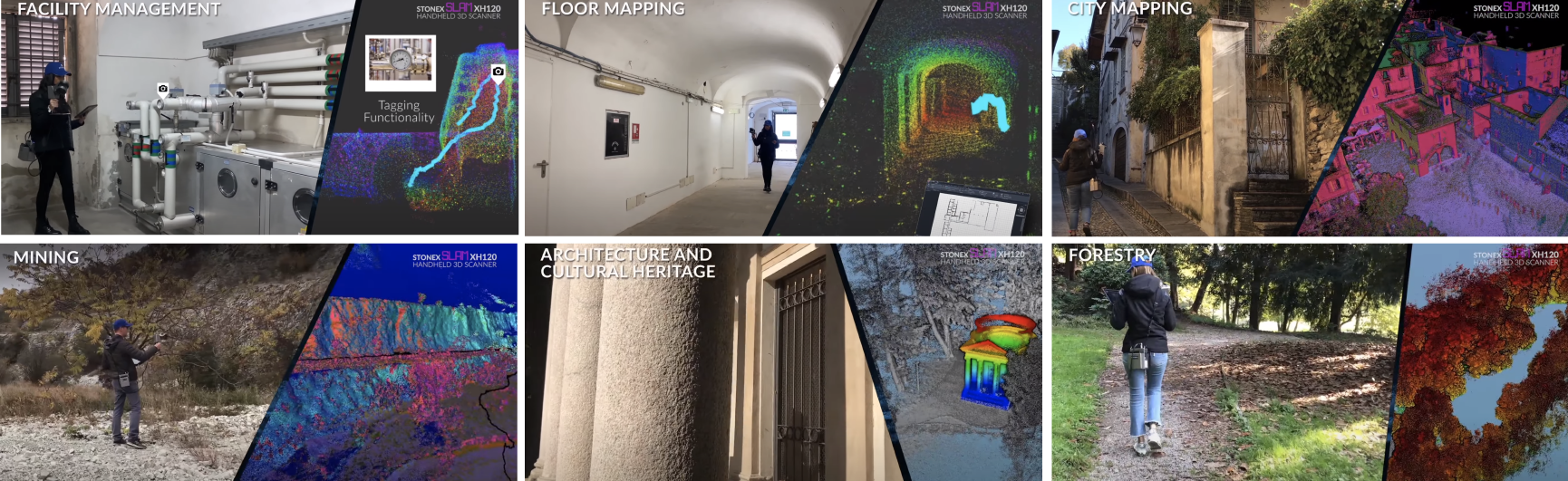
Machine learning and artificial intelligence are rapidly becoming important tools in the field of Geomatics. These technologies automate complex processes and improve the accuracy of data analysis and mapping. For example, machine learning algorithms are used to classify land cover or detect changes in land use, and AI is used to optimize workflows and automate routine tasks.

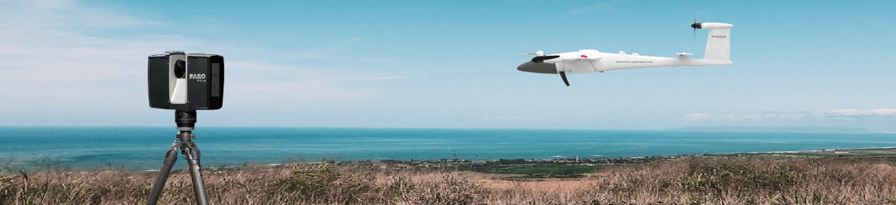
AI also plays a role in the field of geomatics by allowing for the creation of autonomous systems and decision-making tools. For instance, AI-powered drones such as DJI drones, can fly autonomously, collect and process data in real-time, and make decisions based on that data.

The integration of ML and AI into the field of geomatics is transforming the way geospatial data is collected, analyzed, and communicated, enabling new and innovative applications and solutions. A few examples of applications that are powered by machine learning and artificial intelligence are the following:

Object detection and classification: ML algorithms can be used to identify and classify objects in satellite imagery, such as roads, buildings, forests, crops, and water bodies. This information can be used in various applications, such as urban planning, disaster management, and land use analysis.

Change detection: AI is used to detect changes in the landscape over time, such as new construction, deforestation, or urban expansion. Then the information is used to monitor and manage natural resources and infrastructure.

Predictive modelling: ML algorithms can be used to analyze geospatial data and make predictions about future trends and patterns. For example, AI is used to predict the likelihood of natural disasters, such as floods or wildfires, and help decision-makers prepare for these events.

Geospatial visualization and communication: AI is also used to generate 3D models and virtual reality experiences, which communicate complex geospatial data and models to stakeholders. This helps decision-makers better understand and interpret geospatial data and make informed decisions.

Why Choose Measur?

Measur Geomatics specializes in providing geospatial technology solutions for various industries. Additionally, here are a few ways that we can help:

Training: we provide training for surveyors and GIS firms on how to safely and effectively operate geomatics systems. This includes training on the proper use of GNSS Receivers, 3D Laser Scanners and Total Stations.

Maintenance and Support: with our ongoing maintenance and support for geospatial systems, we ensure that your equipment is always in good working condition and ready to be used.

For industry leading geomatics equipment, contact a member of our team today to find the right equipment for your application.

CONTACT US

Want to get in touch with us? Just fill out the form below and we'll get back to you ASAP.

BACK TO TOP